


Tahoma Geology

Tahoma (Mt. Rainier) Geology
The native Puyallup Tribe name for Mount Rainier is Tahoma, or Tacoma- which means ‘the mother of waters’. So why Mount Rainier? The mountain was given that name by Captain George Vancouver in honor of his friend Rear Admiral Peter Rainier Jr. One would assume that Admiral Rainier accompanied Captain Vancouver. The closest Admiral Rainier ever came to Tahoma was when he went to the East Coast of the continent to fight for the British in the Revolutionary War.
rich-text, responsive-table
Rainier is an active volcano in the heart of the Cascade Range here in Washington State. The volcanism at Mount Rainier and other Cascades arc volcanoes are due to the subduction of the Juan de Fuca Plate off the west coast.
Mount Rainier is not the first or the last volcano to grow in its present location. Over hundreds of thousands of years ago, the accumulation of individual lava flows have built up what we currently see as Rainier. An ancestral Mount Rainier stood in the same place from 1 to 2 million years ago.
Parts of Rainier also sit upon three older formations of volcanic rocks and associated sediments: Fife's Peak (26 to 22 Ma), Stevens Ridge (26 Ma), and Ohanapecosh (36 to 28 Ma). Age measurements of lavas and ashes from Mount Rainier show that the most recent lava flows erupted close to 2,200 years ago, and that pyroclastic flows erupted as recently as 1,100 years ago. Mount Rainier has been active for the last 500,000 years.
Mount Rainier is mainly composted of andesite and some dacite. The upper portions of the volcano are home to hydrothermally-altered rock. At the summit, there are two craters, each about 0.4 km (0.25 mi) across, with a frozen lake near the summit as well. The recentness of eruptions and the frequency of those recent eruptions indicate that Mount Rainier is an active volcano that will erupt again in the future. rich-text, responsive-table

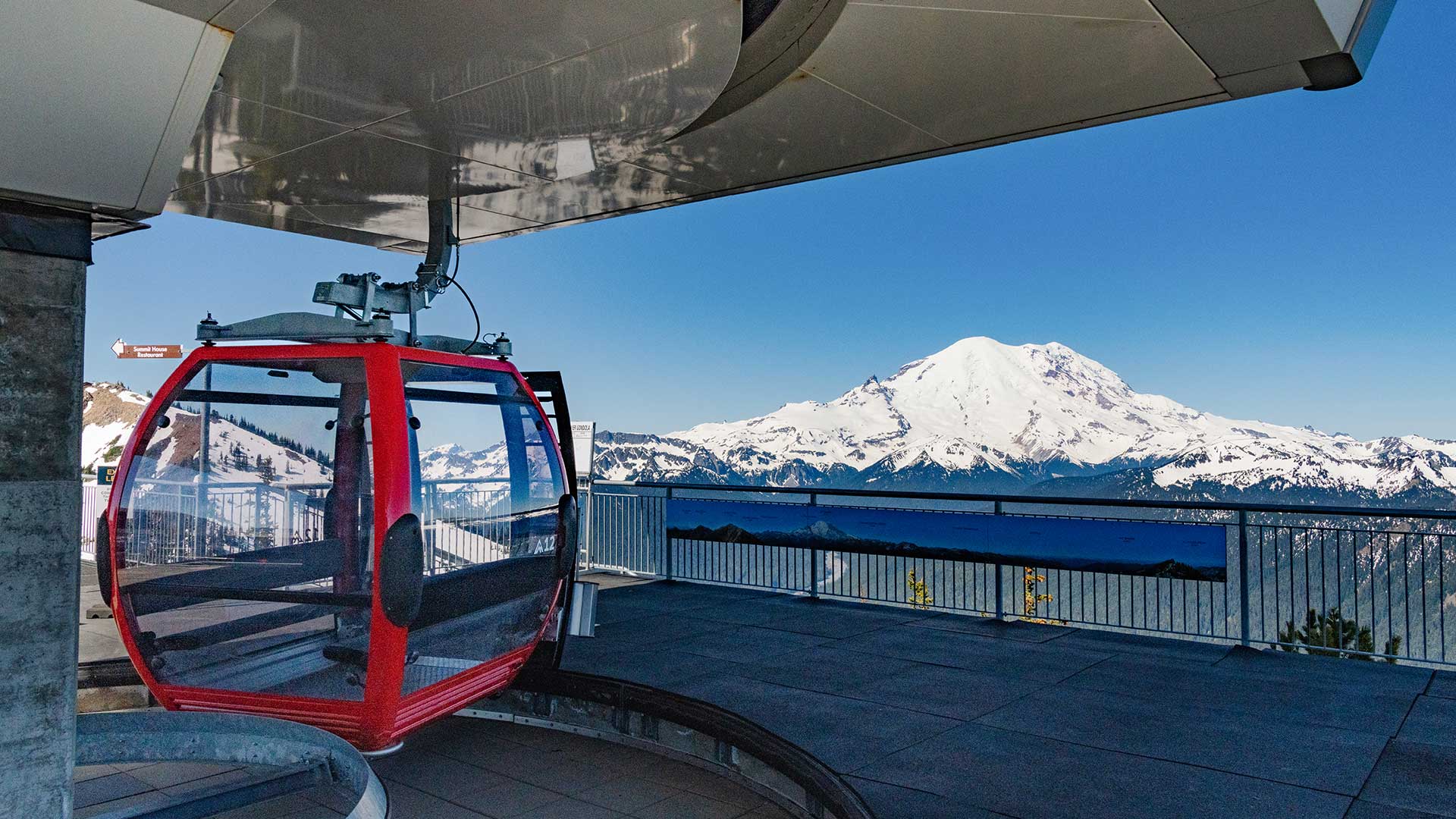
Mount Rainier is the tallest mountain in Washington State with an elevation of 14,411 feet. It is an active volcano with 26 major glaciers making it the most heavily glaciated peak in the lower 48 states.
High on the eastern flank of Mount Rainier is a peak known as Little Tahoma Peak, 11,138 ft, an eroded remnant of the earlier, much higher, Mount Rainier. It has a prominence of 858 ft and if considered separately from Mt. Rainier, Little Tahoma Peak would be the third highest mountain peak in Washington.
Emmons Glacier is on the northeast flank (visible from the summit), and has the largest surface area (4.3 sq mi) of any glacier in the contiguous United States. Starting at an elevation of over 13,800 ft, the Emmons glacier flows down eastward. Near the Disappointment Cleaver at 12,200 ft (3,700 m), the Emmons is joined by the Ingraham Glacier flowing to the south. The glaciers flow together and remain connected until they split up upon reaching the wedge of Little Tahoma Peak. As the Emmons flows northeast, the massive glacier descends until it reaches its rocky lower terminus at about 5,100 ft in elevation. rich-text, responsive-table
At an elevation of 6,400 feet, Sunrise is the highest point that can be reached by vehicle inside Mount Rainier National Park. In summer, mountain meadows abound with wildflowers. On clear summer days, Sunrise provides breathtaking views of Mount Rainier, Emmons glacier, vibrant wildflower meadows. Sunrise Point offers nearly 360-degree views of the surrounding valleys, Mount Rainier, and other volcanoes in the Cascade Range such as Mount Adams. These views and an excellent trail system make Sunrise the second most visited location in the park. Sunrise is located 14 miles northwest of the Sunrise/White River turnoff on Highway 410. rich-text, responsive-table
SOURCES
Program, Volcano Hazards. “Volcano Hazards Program CVO Mount Rainier.” USGS, 2014, volcanoes.usgs.gov/volcanoes/mount_rainier/geo_hist_summary.html. /
Owen, Trevor. “Native Place Names - From Tahoma to Rainier and Back.” Department of Bioregion, Department of Bioregion, 14 Apr. 2019, deptofbioregion.org/department-of-bioregion/native-palce-names-from-mt-rainier-to-tahoma. rich-text, responsive-table